
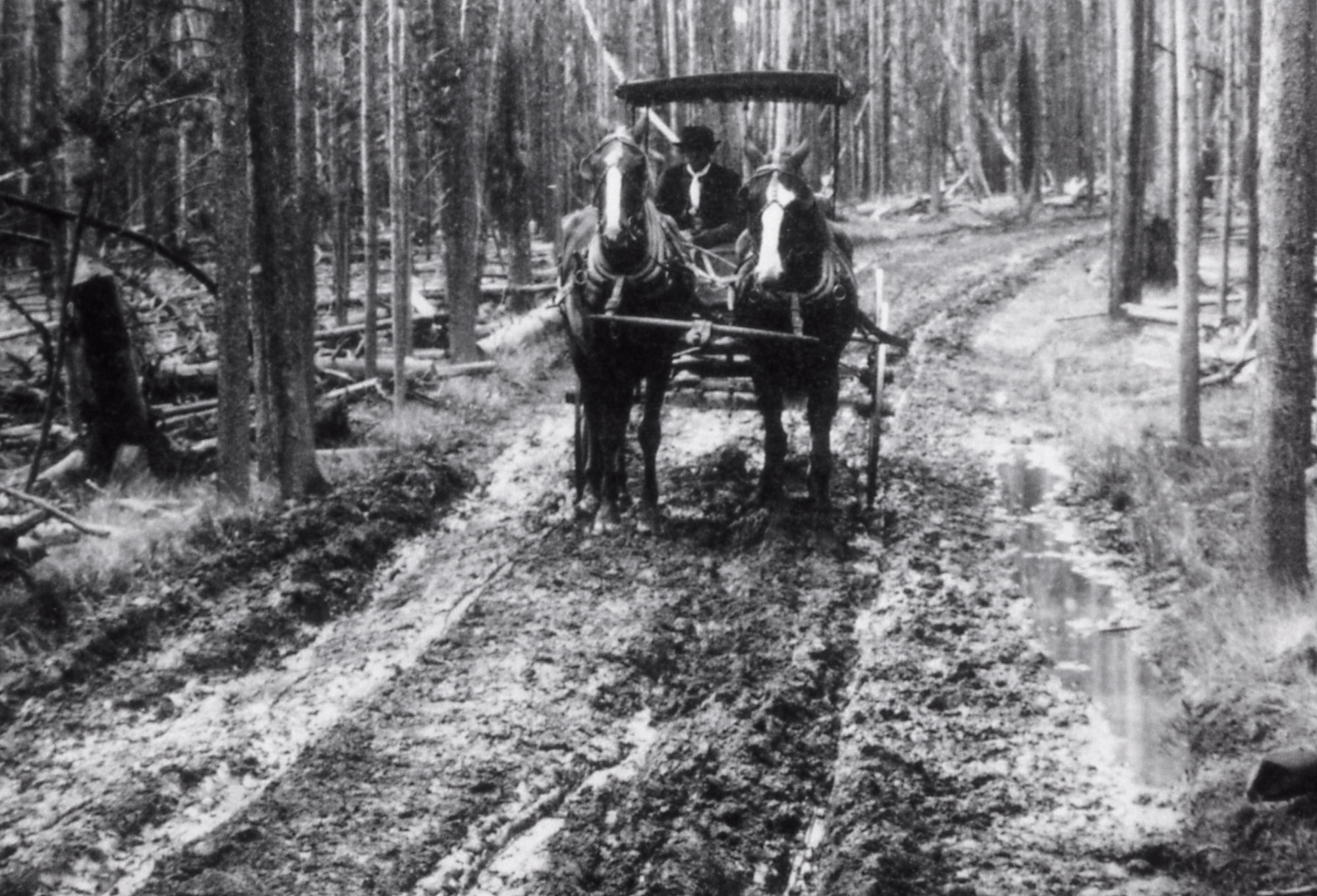
Roads

The beginnings of roads through Yellowstone National Park and those leading to West Yellowstone are rooted in rustic game trails and Indian trails, especially the Bannock Trail. The early explorers followed the trails on foot or on horseback. They were widened to accommodate wagons, then stagecoaches, and eventually formed the base of our modern roads.
Source: NPS Photo
There were several early routes leading to the “Madison River entrance” of Yellowstone National Park. From the Virginia City and Ennis area, travelers made their way up the broad Madison Valley and, arriving at the Raynolds Pass area, could proceed up the Madison River through a canyon before reaching the basin that would later be occupied by Hebgen Lake. Many chose to take the less treacherous route across Raynolds Pass, skirting the shores of Henrys Lake, crossing the easy grades of Targhee Pass, and dropping into the Madison basin. By the 1880s, stagecoaches crossed the broad expanse of the Centennial Valley and Red Rock Pass before joining the route around Henrys Lake.

Source: NPS Photo
The route from Bozeman directly up the Gallatin Canyon did not reach West Yellowstone until much later, several years after the Town of West Yellowstone had been established. The road up the canyon wasn’t even begun until the late 1890s, reaching the Taylor Fork in August 1898. Gallatin County negotiated with the park for permission to connect the road to the park, preferably to Mammoth Hot Springs by way of the Big Horn Pass. This route would follow part of the Bannock Trail. In the meantime, the railroad had reached present-day West Yellowstone. This prompted the need for a direct connection from Bozeman to West Yellowstone, so the road followed a route along Grayling Creek to the Madison Basin. This route was surveyed and built in 1910, cutting in half the distance between Bozeman and West Yellowstone.
Over the years, the path of these roads has changed. Alternate routes were found as road-building capabilities improved. In many sections of the Gallatin Canyon Road, especially those between Big Sky and West Yellowstone, the old road is still very visible. The construction of Hebgen Dam and the filling of Hebgen Lake completely changed the alignment of roads in the basin. The 1959 earthquake also affected roads in the area.
There are many historic maps of early park roads and stagecoach routes that portray the evolution of roads both in the park and around West Yellowstone.